Loading terrain
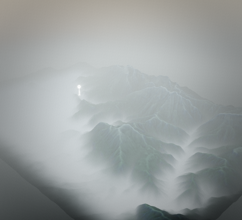

Loading map…
Route note
The southern side of the Karavanke gives this Trans Karavanke variant its mountain setting. The recorded stage links the Završnica reservoir area with the Podljubelj side of the range on the mapped mountain-bike route. This is a one-way stage rather than the complete long-distance trail, and its far end needs a separate return plan.
Route profile
Elevation
Explore the climb
Min elevation1,715 ft·Max elevation4,695 ft