Loading terrain

Loading map…
Route note
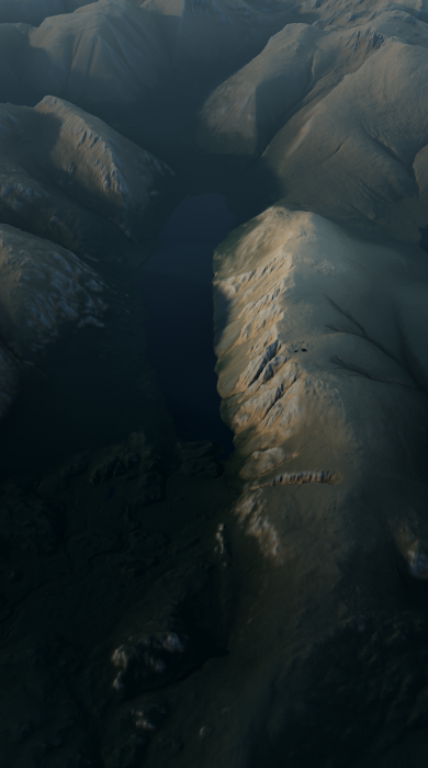
The route climbs Whin Rigg and Illgill Head above the full length of Wast Water, following the crest directly over the lake's dark screes. Across its full course, the route ranges in height from 55.2 to 608.4 metres. Its complete profile adds up to about 674 metres of ascent.
Route profile
Elevation
Explore the climb
Min elevation167 ft·Max elevation1,995 ft