Loading terrain

Loading map…
Route note
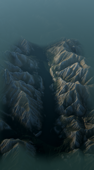
The opening Juliana stage follows the mountain-framed country between Kranjska Gora and Mojstrana. It is a valley journey rather than a high summit route, with settlements and the surrounding slopes changing the scene along the way. This file contains the complete mapped stage in one direction, so organise the return between towns separately.
Route profile
Elevation
Explore the climb
Min elevation2,129 ft·Max elevation3,173 ft