Loading terrain

Loading map…
Route note
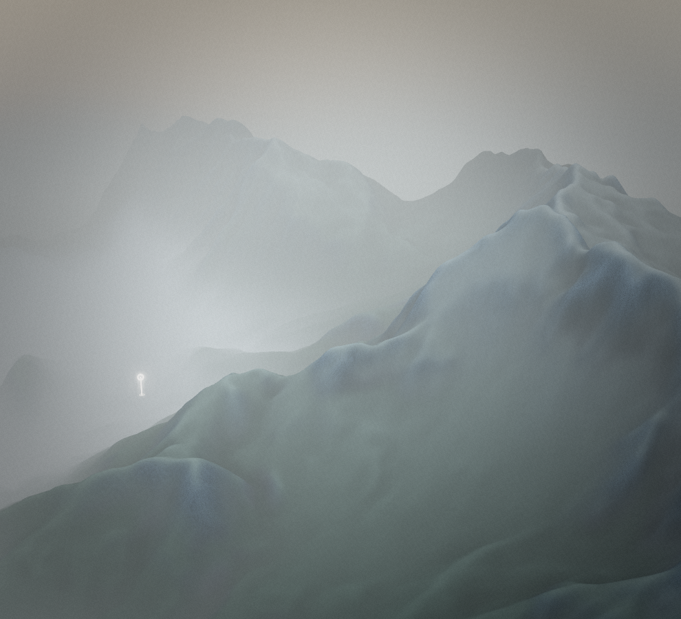
Krn dominates the mountain setting above Drežnica and gives this walk a clear, ambitious destination. The southern route climbs through the Kožljak area before reaching the summit. More than seven kilometres of outward mountain path make it a substantial undertaking, with the full descent and changing mountain weather to account for afterwards.
Route profile
Elevation
Explore the climb
Min elevation1,782 ft·Max elevation7,109 ft