Loading terrain

Loading map…
Route note
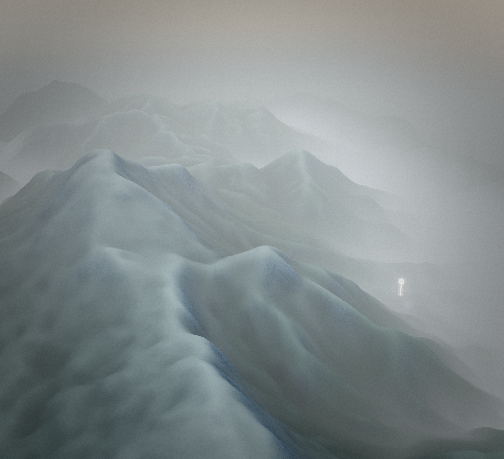
Ivarčko jezero - Uršlja gora follows 4.9 km of trail in Slovenia. Around the trail, Carinthian Alps is defined by forest, alpine pasture and long mountain ridges. The route ends away from its starting area and is best treated as a point-to-point walk.
Route profile
Elevation
Explore the climb
Min elevation2,093 ft·Max elevation5,504 ft