Loading terrain
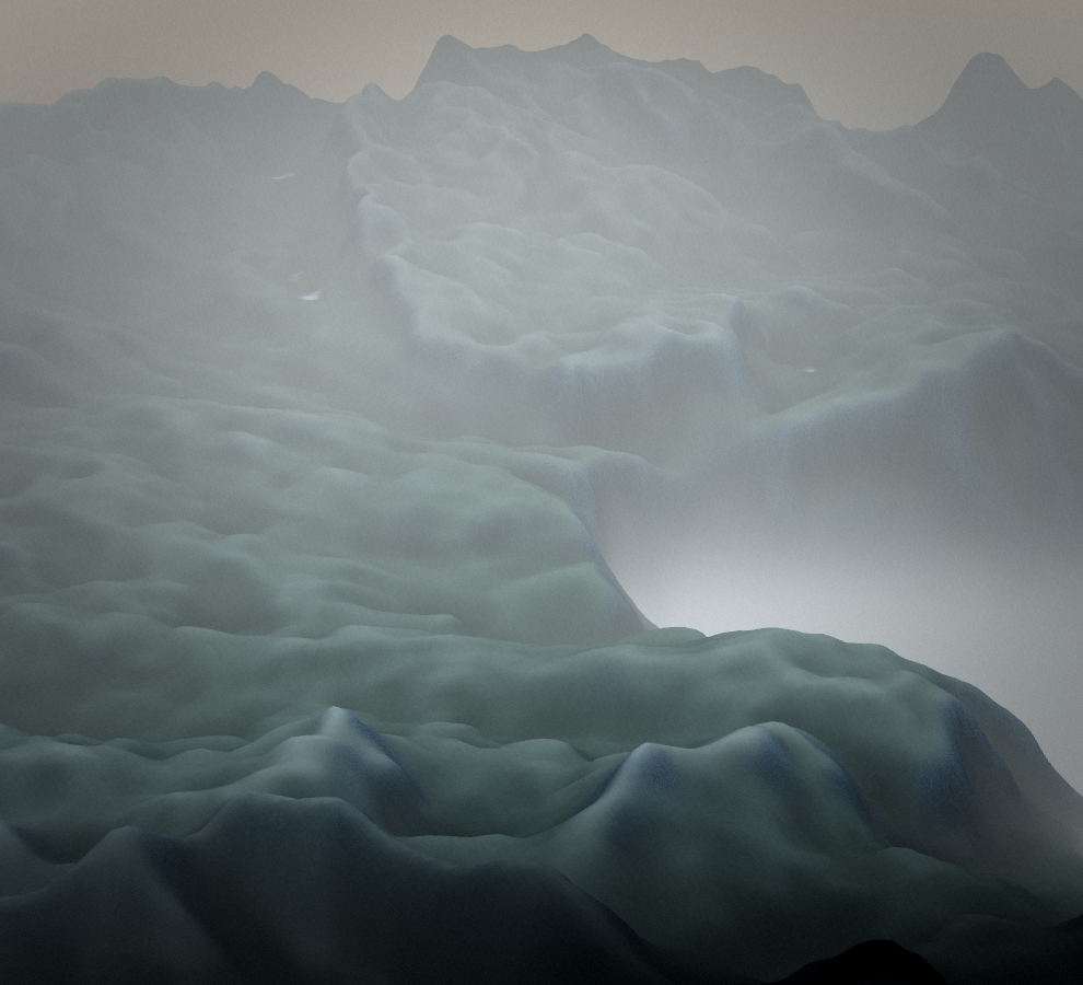

Loading map…
Route note
Koča pri Savici - Komarča - Triglavska jezera follows 6.0 km of trail in Slovenia. It sits in the wider Julian Alps landscape, characterised by high limestone mountains, alpine pasture and deep valleys. The mapped route does not return to its start, so it should be planned as a point-to-point journey.
Route profile
Elevation
Explore the climb
Min elevation2,153 ft·Max elevation5,561 ft