Loading terrain

Loading map…
Route note
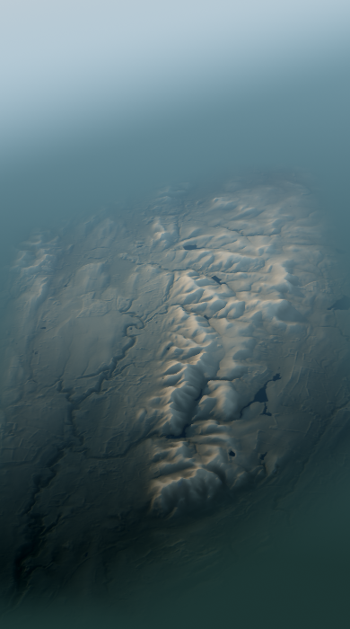
Monk's Rig and the course of a Roman road carry this 31.9 km walk from Dunsyre to Swanston through the Pentlands. Medwyn Road, Red Road and Shelter Belt path mark further sections across the hills. Paths and tracks account for most of the long upland route.
Route profile
Elevation
Explore the climb
Min elevation614 ft·Max elevation1,891 ft