Loading terrain

Loading map…
Route note
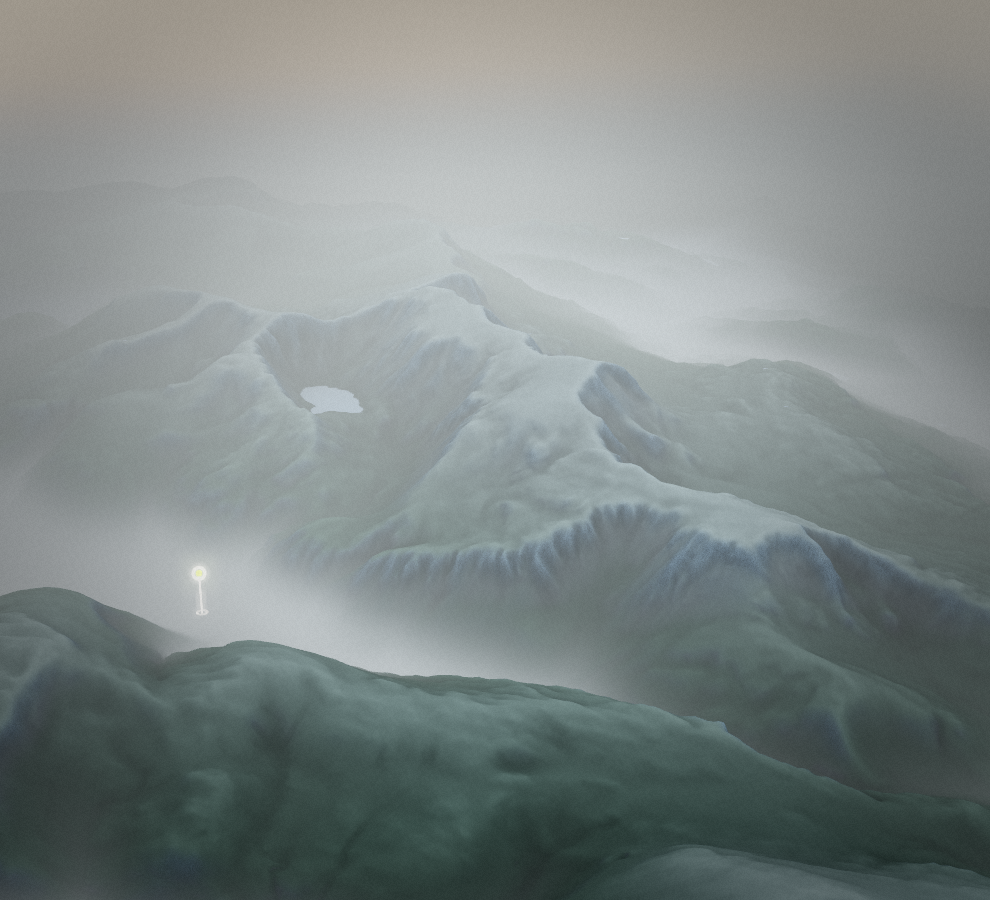
From Minffordd the route climbs past Llyn Cau, crosses the sharp rim of Craig Cwm Amarch and reaches Penygadair before returning along the broad eastern ridge. Elevations along the full route range from 99.4 to 883.7 metres above sea level. Over the full line, cumulative ascent comes to about 1,073 metres.
Route profile
Elevation
Explore the climb
Min elevation349 ft·Max elevation2,893 ft