Loading terrain

Loading map…
Route note
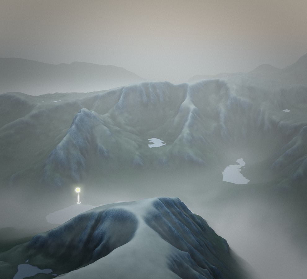
The loop climbs Tryfan, crosses Glyder Fach and Glyder Fawr, then descends Y Gribin past Llyn Bochlwyd to the Ogwen Valley. Scrambling and exposed ground give Tryfan & Glyderau much of its hard hiking character. Across its full course, the route ranges in height from 305.7 to 1,000 metres.
Route profile
Elevation
Explore the climb
Min elevation994 ft·Max elevation3,251 ft