Loading terrain

Loading map…
Route note
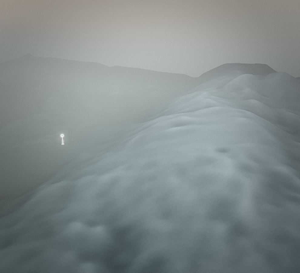
Slavnik gives Podgorje a mountain objective above the wooded Karst landscape. The direct path heads towards the summit area near the mountain's survey point. This is an outward ascent, so leave time for the descent and take the upper slopes seriously when wind or visibility makes conditions less forgiving.
Route profile
Elevation
Explore the climb
Min elevation1,639 ft·Max elevation3,336 ft