Loading terrain
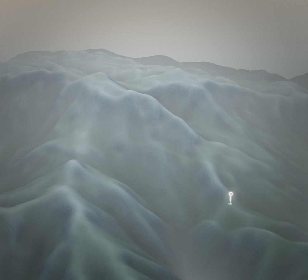

Loading map…
Route note
The Povden approach takes the walk from Prtovč towards the open mountain country of Ratitovec. The path reaches the hut and Gladki Vrh area rather than continuing along the entire ridge. This is the outward mountain route, so allow for a return to Prtovč and check hut arrangements separately.
Route profile
Elevation
Explore the climb
Min elevation3,345 ft·Max elevation5,393 ft