Loading terrain

Loading map…
Route note
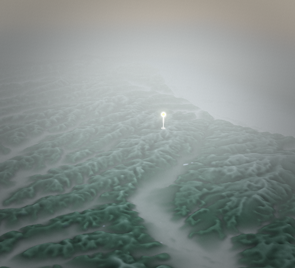
This circuit explores the rolling country between Zgornja Velka and Gradišče. Local and regional roads link the settlements, with woodland and open countryside providing the changes of scene. The route returns to its starting point, but it should be ridden as an ordinary road outing with traffic, not as a dedicated cycle path.
Route profile
Elevation
Explore the climb
Min elevation776 ft·Max elevation1,333 ft