Loading terrain
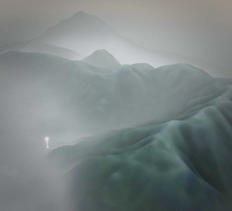

Loading map…
Route note
Peč, also known as Tromeja, gives this walk from Rateče its distinctive border-summit destination. The path rises from the village to the summit area where the three-country meeting point is marked. The Slovenian approach is supplied as an outward walk only, with the descent back to Rateče left to add to the day.
Route profile
Elevation
Explore the climb
Min elevation2,852 ft·Max elevation4,944 ft