Loading terrain

Loading map…
Route note
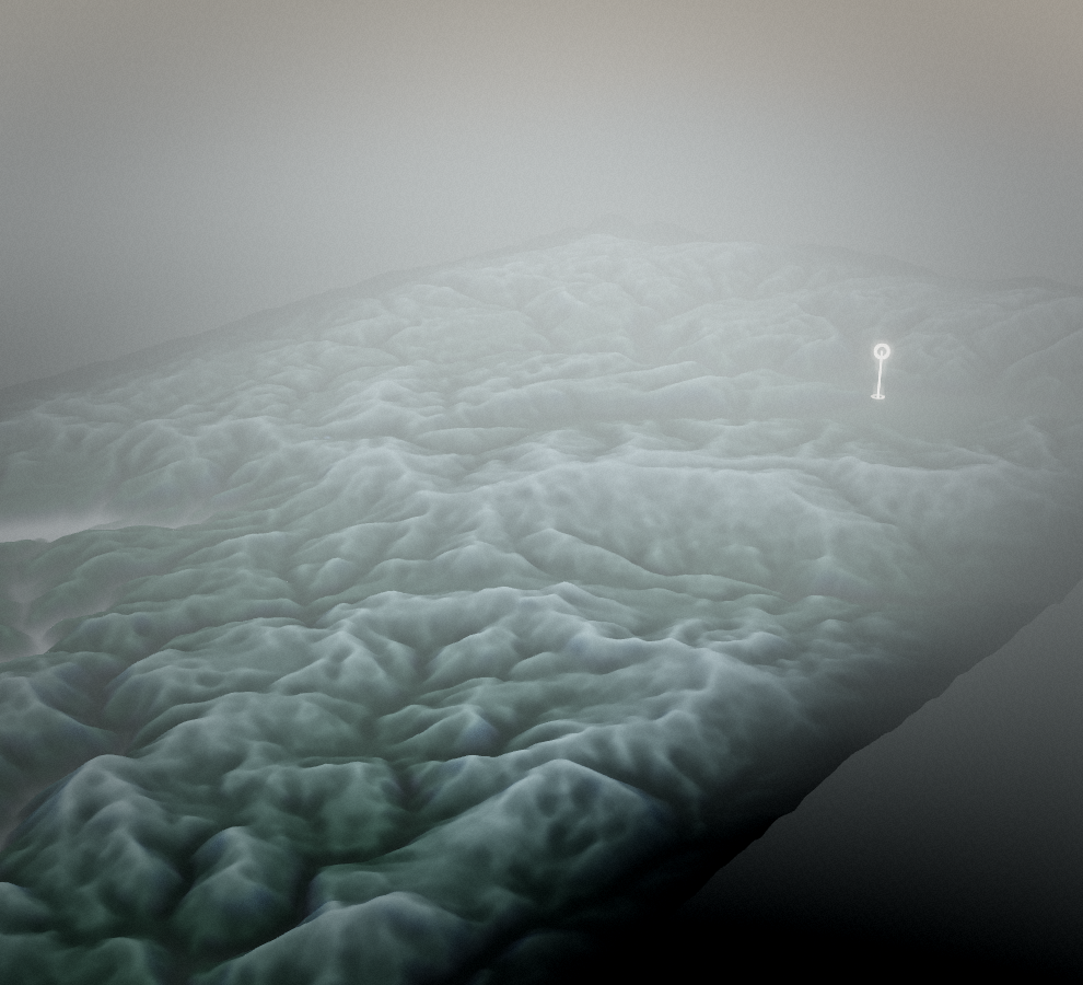
Small roads carry this ride out of Žiri towards Šentjošt nad Horjulom. The hill-country setting is the attraction, with the full mapped route on asphalt or another paved surface. It is a point-to-point road ride, so allow for the separate return rather than treating its 18 kilometres as a round-trip distance.
Route profile
Elevation
Explore the climb
Min elevation1,581 ft·Max elevation2,729 ft