Loading terrain

Loading map…
Route note
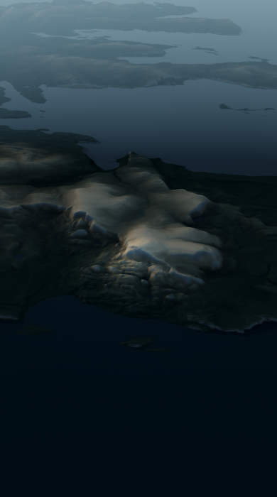
The Quiraing loop crosses the Trotternish landslip among the Prison, Needle and Table, with steep basalt walls above Staffin and the Sound of Raasay. Dirt and grass paths make up almost the whole 6.2 km route, while exposed ground adds to its mountain character. The route carries a moderate hiking classification.
Route profile
Elevation
Explore the climb
Min elevation824 ft·Max elevation1,730 ft