Loading terrain

Loading map…
Route note
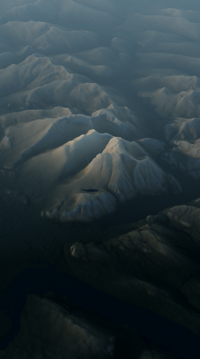
The route reaches Ben Nevis by crossing Càrn Mòr Dearg and following its sweeping arête around Coire Leis. The north-face cliffs remain in view for much of this 15.9 km circuit, while scrambling and exposure shape the ridge crossing. Its remote setting and sustained mountain ground support a hard hiking grade.
Route profile
Elevation
Explore the climb
Min elevation66 ft·Max elevation4,403 ft