Loading terrain

Loading map…
Route note
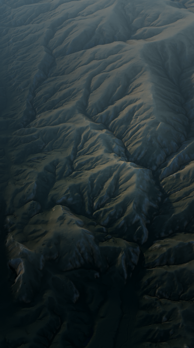
Skomarje sits at the end of a steady journey into the Pohorje hills from Loška Gora. The mapped ride mostly uses small local roads, with an unpaved section and incomplete surface information elsewhere. A gravel bike is the cautious choice for this one-way village-to-village route, rather than assuming every lane is smooth tarmac.
Route profile
Elevation
Explore the climb
Min elevation1,432 ft·Max elevation3,663 ft